遥感课程
遥感课程可以帮助您学习卫星图像分析、地理信息系统(GIS)和环境监测技术。您可以掌握数据分析、空间分析以及遥感技术在农业和城市规划中的应用等方面的技能。许多课程都会介绍 ArcGIS 和 QGIS 等工具以及处理卫星数据的软件,这些工具都支持地理信息的分析和 Visualization。
热门遥感课程与认证
 状态:免费试用
University of California, Irvine
您将获得的技能: 集成开发环境, Network Protocol(网络协议, C(编程语言), 计算机硬件, 网络协议, 嵌入式系统, 计算机编程, 电子工程, 数字通信, 开发环境, 嵌入式软件, 电子元件, 调试, 开放源码技术
 状态:免费试用
University of California, Irvine
您将获得的技能: Virtual Teams, Conflict Management, Telecommuting, Trustworthiness, Interpersonal Communications, Team Leadership, Collaboration, Collaborative Software, Leadership, Team Building, Productivity, Social Skills, Rapport Building, Communication, Leadership Development, Relationship Building, Team Performance Management, People Management, Meeting Facilitation, Constructive Feedback
 状态:新状态:预览
您将获得的技能: Vue.JS, JavaScript Frameworks, Web Development Tools, Front-End Web Development, Javascript, UI Components, Data Structures, Debugging
 状态:免费试用
IBM
您将获得的技能: 生成式人工智能, 人工智能, 云部署, 客户服务, 云计算, 服务台支持, 外围设备, 专业网络, IT 服务管理, 云服务, 云平台, 网络安全, 信息技术, 数据存储, 技术支持, 云基础设施, 桌面支持, 云安全, 硬件故障排除, 云计算架构
 状态:免费试用
University of California, Irvine
您将获得的技能: Virtual Teams, Telecommuting, Interpersonal Communications, Trustworthiness, Collaboration, Team Building, Social Skills, Rapport Building, Communication, Teamwork, Relationship Building, Team Leadership, Leadership, Leadership Development, Expectation Management
 状态:免费试用
您将获得的技能: Django (Web Framework), Responsive Web Design, Cascading Style Sheets (CSS), HTML and CSS, Back-End Web Development, Relational Databases, Database Management Systems, Bootstrap (Front-End Framework), SQL, Database Design, Databases, Front-End Web Development, Database Administration, MySQL, Debugging, Web Development, Web Servers, Pseudocode, Computer Programming, Communication
 状态:预览
状态:预览GitLab
您将获得的技能: 交流, 性能指标, 领导与管理, 团队建设, 团队管理, 适应性, 虚拟团队, 远程办公, 文化转型, 人力资源管理与规划, 组织变革, 业务转型, 企业战略, 绩效管理, 合作, 组织战略, 组织领导力
 状态:预览
状态:预览The University of Edinburgh
您将获得的技能: 软件工程, 软件开发, 软件设计, 计算思维, 游戏设计, 计算机编程, 调试, 算法, 编程原则, Algorithm
 状态:免费试用
University of Michigan
您将获得的技能: 图表设计, 计算机编程, 数据结构, Python 编程, 计算机图形学, 调试, 计划发展, 编程原则
 状态:免费试用
Duke University
您将获得的技能: Javascript, 用户界面(UI), 事件驱动编程, 网络开发, 图像分析, 计算机编程, 调试, 计算思维, 网页设计, HTML 和 CSS, 编程原则, 算法, 互动设计, 层叠样式表(CSS), Algorithm
 状态:预览
状态:预览Universidad Nacional Autónoma de México
您将获得的技能: Robotics, Electronics, Electronic Components, Control Systems, Remote Access Systems, Mobile Development, Automation, Engineering, Sustainable Technologies, Computer Programming
 状态:免费试用
您将获得的技能: Threat Management, Incident Management, Remote Access Systems, Incident Response, Security Management, Computer Security Incident Management, Data Security, Vulnerability Assessments, Law, Regulation, and Compliance, Threat Detection, Cybersecurity, Security Controls, Security Requirements Analysis, Continuous Monitoring, Cyber Security Assessment, Security Software, Vulnerability Management, Security Strategy, Telecommuting, Infrastructure Security
总之,以下是 10 最受欢迎的 remote sensing 课程
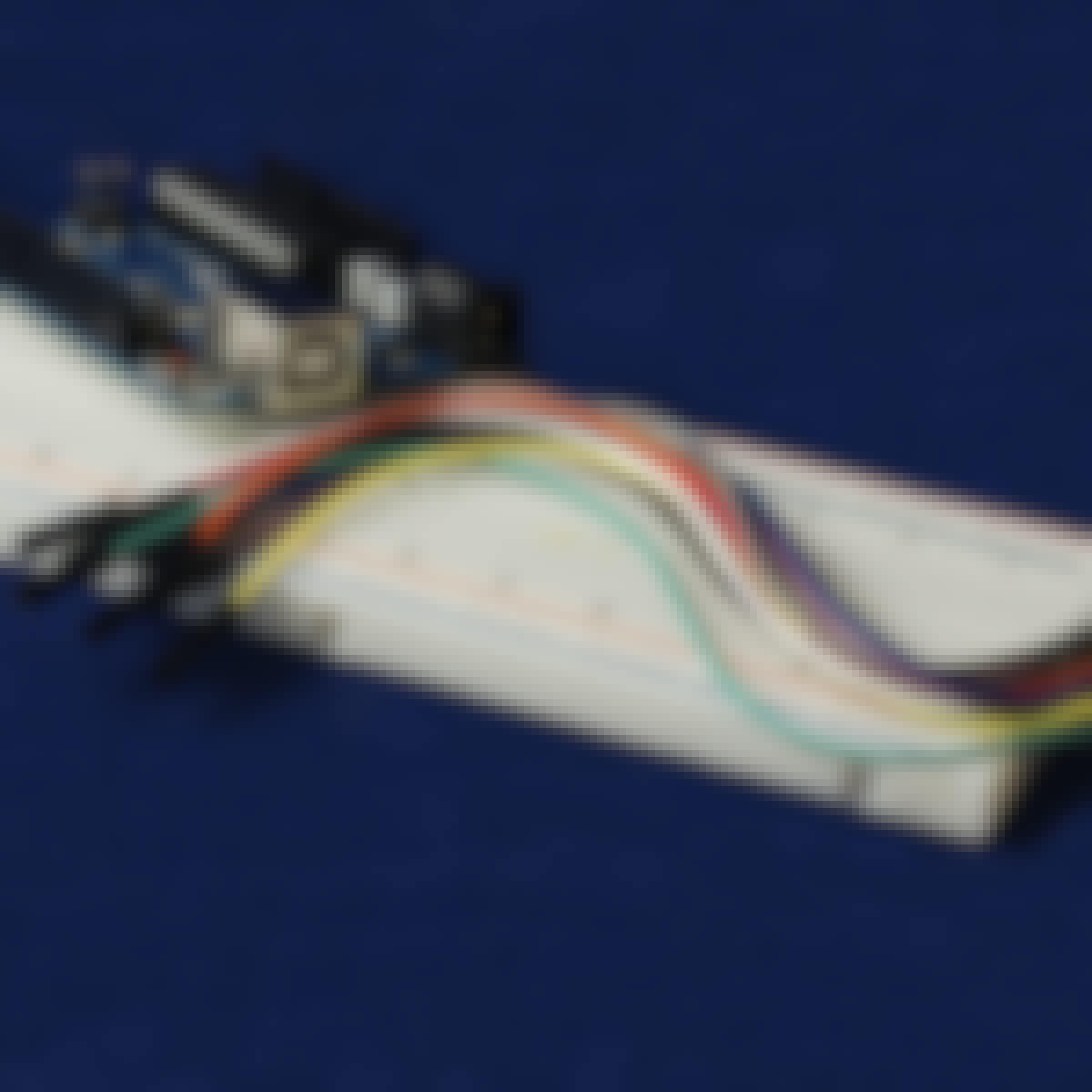
- Arduino 平台和 C 语言编程: University of California, Irvine
- Remote Leadership for Managers: University of California, Irvine
- Build and Implement JavaScript ToDo Applications: EDUCBA
- IBM IT 支持: IBM
- Communication in Remote Work: University of California, Irvine
- Meta Web Development Fundamentals: Meta
- 如何管理远程团队: GitLab
- 自己编码!程序设计入门: The University of Edinburgh
- Python 基础知识: University of Michigan
- JavaScript、HTML 和 CSS 编程基础知识: Duke University


